
YES, I have a GPS that works great, put I still have trouble. On top of this Mary is a "map person" before we leave she has to confirm that we have all the proper paper maps in the tankbag. Thing is, paper maps are difficult to use while riding- if she uses them in the back while enroute and relays the directions through our intercom it's fine but more often then not they are hard to read while riding (or stopped if your eyesight sucks like ours) and they either fall out of her jacket when we stop or when we're done they are ripped to shreds from constant folding/unfolding.
So on the last tour of CT. Mary got tired of me stopping to check the GPS, etc and at a lunch stop annouced that she was buying a map at the gas staion. What she returned with was the largest map of one state that I have ever seen!! We laid that sucker out on the grass and it was bigger than some blankets. She had bought ($5.99) a Rand MacNally Easy to Read map--and it was surely easy to read, but folding and storing it was another thing!!
So after a couple of days of thoughts of "There's gotta be a better way to use a paper map while motorcycling." I came up with the following project.
Let me know what you think.

Some of the equipment used for the project.
 Here's all the sections of NY State.
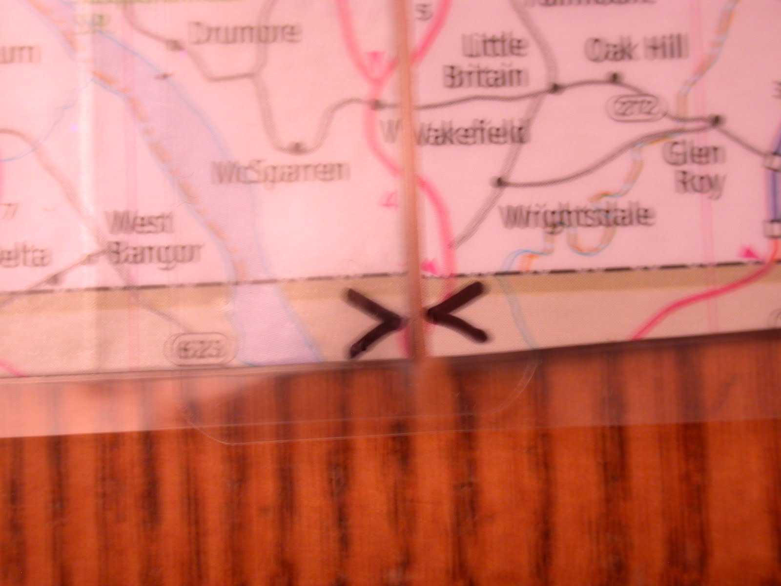 This shows the marks I've added with a Sharpie making it easier to arrange the sections. When correctly positioned it will make an "X".
No comments:
Post a Comment